Drones & Its Applications
Course Description:
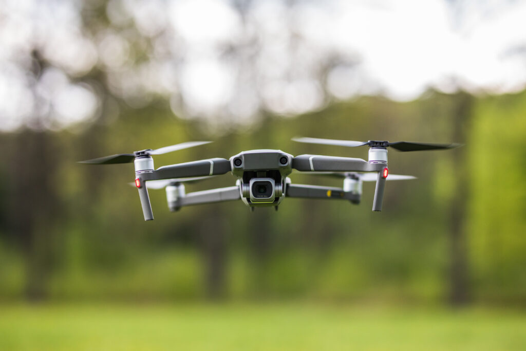
Drones, or Unmanned Aerial Vehicles (UAVs), are transforming industries from agriculture and infrastructure to defense and disaster response. This course provides a complete introduction to drone technology, flight dynamics, remote sensing, regulations, and industrial applications.
You’ll explore how drones are designed, controlled, and deployed, along with the tools used to collect, analyze, and utilize aerial data. The course balances theoretical foundations with practical insights, making it ideal for students, engineers, researchers, and professionals entering the UAV space.
Learning Outcomes
By the end of this course, you will be able to:
- Understand the key components of EVs including batteries, motors, controllers, and inverters.
- Learn the principles of drone flight, GPS navigation, and wireless control.
- Analyze drone data for mapping, surveillance, and precision tasks.
- Understand legal and regulatory frameworks (DGCA, FAA, etc.).
- Explore advanced industrial use-cases and real-world deployment challenges.
Why Take This Course?
Hands-On Technical Knowledge: Learn drone hardware, flight mechanics, and ground control.
Industry-Aligned Applications: Understand how drones are applied in agriculture, mining, construction, and public safety.
Career & Business Growth: Break into one of the fastest-growing tech sectors.
Future-Ready Skills: Build a foundation for AI/ML integration, swarm robotics, and automated inspection.
Key Topics Covered:
- Drone Fundamentals
- Types of drones: Fixed-wing, multirotor, hybrid
Anatomy of a UAV: motors, ESC, flight controllers, batteries
- Flight Dynamics & Control
- Aerodynamics & stability
- GPS, IMU, and sensor integration
- Manual, assisted, and autonomous flight modes
- Drone Communication & Navigation
- RF, Wi-Fi, and 4G/5G connectivity
- Ground control software and telemetry
- First-Person View (FPV) systems
- Payloads & Sensor Systems
- Cameras, LiDAR, thermal sensors, multispectral sensors
- Mounts and gimbal stabilization
- Data Collection & Analysis
- Aerial mapping and photogrammetry
- Post-processing with GIS and 3D modeling tools
Assessment and Activities:
✔️ Flight simulation exercises
✔️ Case study: Drone mapping of farmland or construction site
✔️ Final quiz on drone classification, control, and regulations